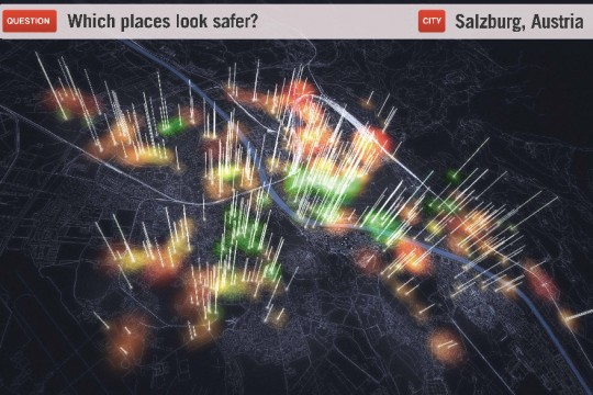
Place Pulse players are shown two side-by-side Google Street View images along with a question (for example, “Which place looks safer?â€). Players click on the image of their choice, earning points that can be exchanged for access to additional game features. Over time, Place Pulse converts opinions shared in-game into perception scores for each place, creating a quantitative measure of urban perception. Scores are mapped and used to identify areas that are most in need of improvements. Developed by an MIT Media Lab team led by Phil Salesses, this digital tool is intended to help cities become more flexible and representative of the desires of their inhabitants
Accessibility, Community, Information, Pleasure
50,000
1,600 hours
10
Problem - difficult to measure perception of urban space
Solution - crowdsource public response with online visual surveys

